<img height="1" width="1" style="display:none" src="https://q.quora.com/_/ad/c23eff63613649339a864dbd6dedfb92/pixel?tag=ViewContent&amp;noscript=1">

THE ULTIMATE PROFESSIONAL WEATHER DASHBOARD

Monitor. Prepare. Alert. Protect.

Screen

Improve weather-related decision-making for your organization with the Sferic Maps software.


Get started with Sferic Maps. Request your DEMO today.arrow

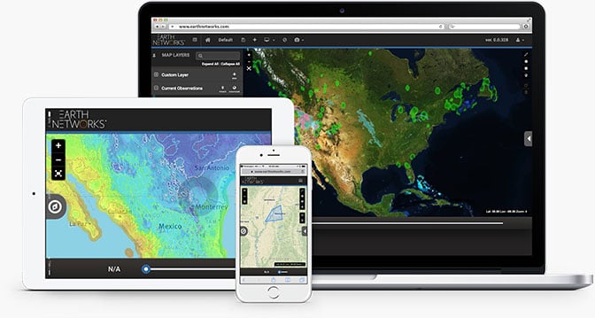
Sferic Maps combines the best of Earth Networks patented weather and lightning observation metrics with powerful data representation, visualization and alerting capabilities.
You'll get access to:
  • Our easy to use web-based weather visualization software
  • A companion alerting app, Sferic Mobile for Android or iPhone
  • The world's best and most comprehensive real-time weather database
  • Everything you need to monitor current and future conditions, plan for severe weather events and prepare your response
Image
Define key locations to monitor, import your own weather data as new layers, or use our preset layers of hyperlocal weather observations including Earth Networks Total Lightning, Dangerous Thunderstorm Alerts, NWS alerts, temperature, radar, and more.
Make intelligent weather-related decisions

Make intelligent weather-related decisions

Collaborate with stakeholders during severe weather events

Collaborate with stakeholders during severe weather events

Prioritize safety and security

Prioritize safety and security