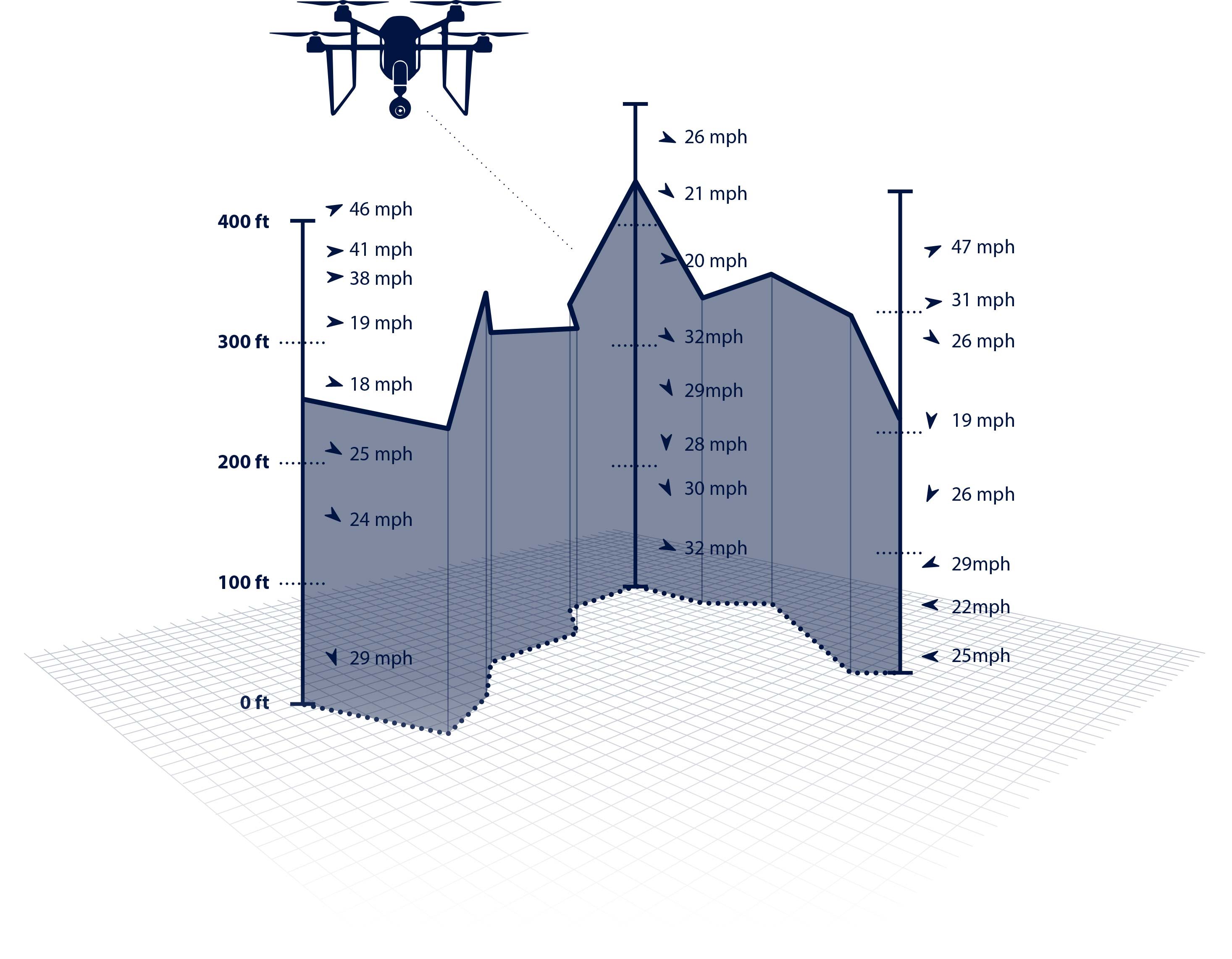
Finally, a weather forecast for drones! Let us help you plan your next unmanned aerial vehicle flight. Sferic DroneFlight provides a unique wind forecast for 10 to 400 feet--the perfect altitude for drones.
We have a new advanced predictive weather offering for commercial drone operations. Get global forecasts optimized for UAVs and drones.


Access hourly time intervals for specific dates and times to determine best times for flying conditions.

Use advanced weather data, including wind speed and direction to plan flight paths and elevation while optimizing battery life.

Combine Sferic DroneFlight with historical weather data sets and captured imagery to understand the causes of damages.